The Ultimate Guide to Pedestrian Wayfinding: Understand the Needs and Take Action in Your City
The Ultimate Guide to Pedestrian Wayfinding: Understand the Needs and Take Action in Your City

The Ultimate Guide to Pedestrian Wayfinding: Understand the Needs and Take Action in Your City


Vous êtes-vous déjà perdu en ville ou dans un bâtiment complexe ? Avec la densification des zones urbaines, de bons systèmes d’orientation constituent une avancée majeure pour favoriser l’autonomie des piétons. Pour améliorer l’accessibilité piétonne, les meilleures pratiques en matière d’orientation encouragent et permettent aux gens de marcher plus souvent vers davantage de destinations.

Cet article rassemble toutes les informations nécessaires pour répondre aux besoins de tous les publics, les solutions existantes et leur mise en œuvre dans votre ville. Vous disposerez ainsi de toutes les clés pour agir et aider tous les citoyens à s’orienter, quels que soient leur handicap, leur âge et leur connaissance du territoire.

Donnons du pouvoir à tous les piétons !

Pourquoi l’orientation piétonne est-elle importante dans une ville ?


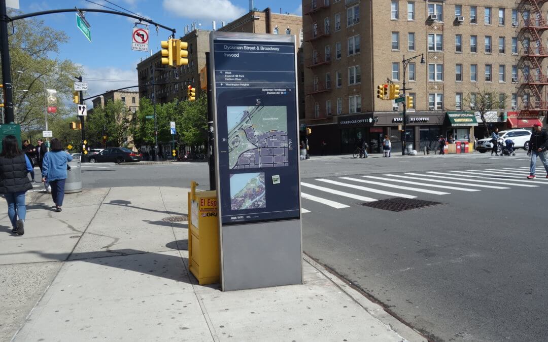
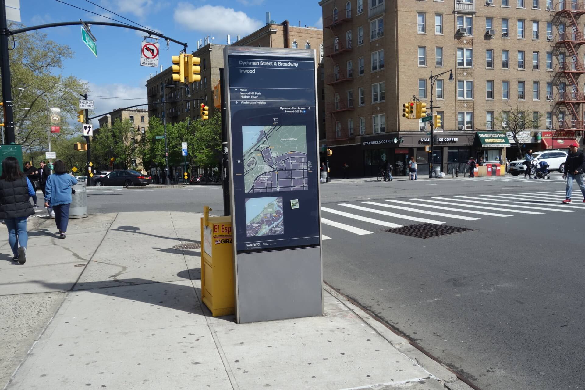
Les systèmes d’orientation piétonne sont essentiels en ville, car ils fournissent des informations sur l’environnement et permettent une marche fluide et cohérente. Ils fournissent des informations précises, claires et de qualité, fluidifiant ainsi les flux et rendant les citoyens aussi autonomes que possible.

Selon SEGD, Wayfinding fait référence aux « systèmes d’information qui guident les personnes à travers un environnement physique et améliorent leur compréhension et leur expérience de l’espace ».

Les solutions d’orientation fournissent la bonne information au bon moment et permettent aux usagers de se construire facilement une carte mentale d’un espace. Elles rendent l’environnement lisible et navigable. L’utilisation de systèmes d’orientation contribue également à améliorer l’expérience utilisateur et le plaisir des piétons.

Les systèmes d’orientation encouragent également la marche. En ville, la marche est essentielle car elle contribue à réduire la pollution et le changement climatique. Elle améliore également la santé. De plus, un piéton est plus enclin à consommer qu’un automobiliste, ce qui a un impact direct sur l’économie d’une ville. D’un point de vue social, la marche favorise l’égalité et renforce les liens sociaux entre les habitants. Enfin, marcher en ville facilite l’utilisation du vélo et des transports en commun.

En d’autres termes, les informations fournies par les systèmes d’orientation ont un impact majeur sur la situation économique, sociale et le bien-être de tous.


Quels sont les besoins en matière d’orientation piétonne ?


Le besoin fondamental en matière d’orientation piétonne est de pouvoir se déplacer dans l’espace public et privé pour atteindre sa destination. Aller d’un point A à un point B sans difficulté et sans se perdre.

Lorsqu’une personne se déplace à pied, tous ses sens sont en éveil. Un système d’orientation piétonne fournit des repères sensoriels. Il peut solliciter la vue grâce à une signalisation visuelle, l’ouïe par la transmission d’informations sonores, l’odorat par l’orientation par les odeurs, etc.

Un système d’orientation piétonnier conventionnel répond donc au besoin premier d’orientation et de sécurité grâce à des informations sensorielles.

Nous allons maintenant examiner les besoins des utilisateurs en fonction de leur situation. Veuillez cliquer sur la situation qui vous correspond le mieux :


Residents of a city that doesn’t have any disbility need occasional help in case of uncertainty. Wayfinding solutions then fills a grey area for example when the person doesn’t know the neighborhood well or if roadworks change the usual walking route.

A resident doesn’t need to be guided step by step but rather have a glimpse of the global journey to reassure himself in the choice of the walking itinerary. He will rely on familiar landmarks to get his way round.

Non-resident persons without disability are little familiar with their environment and therefore need help to find their way round the city. Business travelers need to find their hotel and their place of work. Tourists need to know the location of touristic places to visit, to discover the city and to know where they are. They all need to be guided step by step for the duration of their stay.

In addition to the needs of sighted people, blind pedestrians have specific needs due to their disability.

First of all, they need to appeal to a different sense than sight to find their way. Blind people necessitate non-visual cues such as tactile or auditory cues.

Another need is to feel safe while walking. Without sight, the danger is more difficult to apprehend. Wayfinding systems make it possible to overcome the visual deficit by providing clues soliciting other senses.

A blind person also needs to be able to preview his itinerary step by step before departure. Knowing the key steps is essential to anticipate changes of directions, pedestrian crossings, number of bus stations etc.

The need for reassurance and comfort in moving is also essential. A person who does not see wants to know if the path he is taking is the right one.

Finally, the need for autonomy is also essential to take into account. A blind or visually impaired person wants to be able to move alone without having to seek the help of a third person.

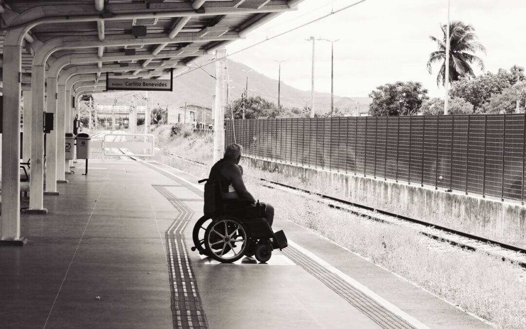
People with physical disabilities need to go to a destination based on their motor skills. They need to know where to go to find accessible sidewalks, elevators, slopes, etc. The importance of having a path adapted to their disability is essential.

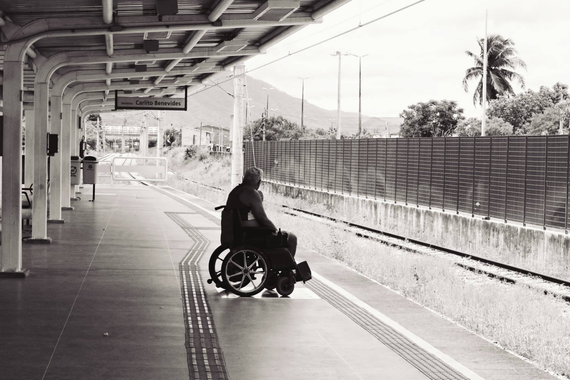
Wheelchair users have low visibility due to their height. They need information within reach. They also have the desire to be empowered and to be completely sure that the route is accessible before following a path.

Deaf people need visual information to walk safely. Visual guidance is indeed important to meet their needs. Allowing them to get a view of their destination point is very helpful.

media

The information provided by wayfinding systems has a major impact on the economic, social and well-being of all.

writer

Zoe Gervais

Zoe Gervais

Content Manager

stay updated

Get the latest news about accessibility and the Smart City.

other articles for you
share our article!

Complex built environment and city managers are looking for lower guided assistance costs. The economic challenge also lies in welcoming tourists. A city that informs its tourists favors its economy.

In addition, conveying a strong image by taking into account all types of disabilities is often challenging for decision makers.

Decision-makers and site managers therefore have an economic and image need to meet.

For signage installers, the set-up and the maintenance must be easy and accessible. Power connection must be minimal. They also need solutions that respect the standards of the public space: high, hygiene, solidity etc.

For digital solution designers, mapping updates must be made on a regular basis.

What are the existing wayfinding solutions?


After reviewing and understanding the needs of different groups of the population, let’s talk about existing wayfinding solutions from around the world.

Please click on the solution to access the information:

• Human solutions

Help of passersby

Benefit for end-user: human contact

Drawbacks for end-users : not reliable, not always easy to go up to a stranger in the street, impossible when there isn’t any one to ask

Wheelchair and guided assistance

Benefits for end-user: human contact, reliable, reassuring, less stressing

Drawbacks for end-users : less autonomy, need to book ahead, less spontaneity

Benefits for site managers: gives a positive image, complies with the law

Drawbacks for site managers: expensive, resource-intensive, takes time, misuse and abuse from people

• Visual solutions

Classic or connected signage

Benefits for end-user: allows to find one’s bearings with ease

Drawbacks for end-users: possible contrasts problems, too high, not multilingual, impossible to understand when illiterate, hard to update, can be poorly positioned, no audio information, infrequent


Benefits for decision-maker: streamlines human flows, attracts tourists

Drawback for decision-makers: costly maintenance, vandalism, update

• Audio solutions

Audio beacons

Navigueo+ HIFI…

Benefits for end-user: guidance and vocalization of the information, variety of audio messages, most efficient solution for blind people to walk independently and to find landmarks

Drawbacks for end-users: beacons need to be named well by the site manager, the triggering application is energy consuming

Benefits for decision-makers: accessibility of the place, attracts more visitors, proven effectiveness, connected device


Accessible Pedestrian Signals (APS)

aBeacon

Benefits for end-users: pedestrian safety, customizable, some Accessible Pedestrian Signals indicate the name of the streets, autonomy

Drawbacks for end-users: Accessible Pedestrian Signals that don’t require a remote control or a smartphone activation are noisy

Benefits for decision-makers: easy to install as they are compliant with all pedestrian signals, affordable, reduces noise pollution, ready for standards laws and needs, provides urban connectivity

• Digital solutions

Outdoor journey planner

Google maps, Apple maps, Bing maps, Here WeGo, Maps.me, Qwant Maps, Osmand

Benefits for end-users: allows to know its location in real time, preferred features

Drawbacks for end-users: mapping is not always intuitive, doesn’t work indoor

Drawbacks for designers: needs to be updated on a regular basis


Indoor mapping

Evelity, MapWise, MazeMap

Benefits for end-users: ability to get information about an indoor location, step by step or from points of interests guidance, connection using other technologies than outdoor navigation app, customizable information according to personal preferences

Benefits for decision-makers: long-term savings over wheelchair/guided assistance and signage

Other digital pedestrian wayfinding solutions

How to Implement a Wayfinding Solution? 10 Steps to Take Action!


  1. Understand the needs and expectations from users: start from analyzing the needs of people with disabilities who have specific needs to expand to all audiences. Understand the needs of the users according to the people who visit the place (daily users, occasional, punctual). For each type of person arise different needs and problems,
  2. Analyse the environment: strengths and weaknesses of the environment. Take into account the constraints of the place,
  3. Consult with users: interview the end-users to confirm their needs, take time to get to know them, follow them in their journeys etc. This will allow to understand the mobility chain and solve all the problems encountered in their journeys,
  4. Choose the wayfinding solution that best fits the needs of the audience: human, visual, audio or digital,
  5. Choose the guiding solution: for digital solutions, the choice of guiding solution is important. It can be a step-by-step or strategic landmarks guidance,
  6. Prototype the solution,
  7. Test the solution with end users: use the Agile method in order to keep all the stakeholders involved in the development cycle. Have the solution tested at several stages of creation process,
  8. Produce the solution: use designers to create the best wayfinding solution possible,
  9. Develop the solution: this step requires technical skills inherent to the choice of guidance system,
  10. Install the solution: even for most digital solutions, on-site installation is required. It can range from beacon installation as landmarks to the installation of signage.

You now have all the keys to set up pedestrian wayfinding solutions in your city. Keep in mind that an accessible system for blind people will also be accessible for everyone. So, design for the most vulnerable people and you will reach everyone.

Over the past 50 years, most wayfindings systems were orientated for drivers. People on foot have been forgotten. The 21st century stakes have evolved especially because of climate change, fuel prices, personal health, obesity and urban livability. Pedestrian wayfinding is one of the solutions that answers to all of these major issues.

As a decision-maker, help make your city more walkable, legible and liveable for everyone!

If you like this article, you will also like this one: Making Public Transport Information Accessible to Disabled People

Evelity, the first wayfinding solution for all types of disabilities in public and private facilities

more articles

The Montreal Metro on the Way to Universal Accessibility

The Montreal Metro on the Way to Universal Accessibility

The Montreal Metro on the Way to Universal AccessibilityWith 1.36 million passengers per day, the Montreal metro is the first network in Canada and the third in North America behind New York City and Mexico City. The network, which was inaugurated on October 14, 1966...

NEVER miss the latest news about the Smart City.

Sign up now for our newsletter.

Unsubscribe in one click. The information collected is confidential and kept safe.

powered by okeenea

The French leading company

on the accessibility market.

For more than 25 years, we have been developing architectural access solutions for buildings and streets. Everyday, we rethink today’s cities to transform them in smart cities accessible to everyone.

By creating solutions ever more tailored to the needs of people with disabilities, we push the limits, constantly improve the urban life and make the cities more enjoyable for the growing majority.

Obstacles in Public Transport: What Solutions for Physical Disability?

Obstacles in Public Transport: What Solutions for Physical Disability?

Obstacles in Public Transport: What Solutions for People with Physical Disabilities?


Wheelchair, crutches, bad balance, but also heavy luggage, strollers, young children… 30 to 40% of public transport users are in a situation of reduced mobility and 6.6% of the U.S. population is living with an ambulatory disability. The removal of physical barriers is a prerequisite for their access to the transportation network, but also a huge challenge for transport network operators, especially when the infrastructure is old.

Let’s have a look at existing solutions and services. Get inspired by the transport networks that get it right!

What are the physical obstacles encountered in public transport?

Imagine yourself in front of a 15-inch step using a wheelchair, lengthening your trip by half an hour because of a broken down elevator, passing the safety gates with a large and heavy suitcase, going down 3 floors with your stroller and your baby in your arms, etc.

Reducing physical barriers in public transport is a real need for people with reduced mobility and physical disability.

Here are some examples of physical barriers that can be found in public transportation:

⊗ Unsuitable steps,

⊗ Significant differences in height between floors,

⊗ Long distances,

⊗ Slippery floors,

⊗ Excessive space between the platform and the vehicle,

⊗ Access heights too important.

These difficulties mainly concern people with ambulatory disabilities but can be extended to all people with reduced mobility.

What are the solutions to reduce obstacles in public transport for people with a physical disability? 

Planning ahead: tips and tricks to travel serenely

To save time and avoid unpleasant surprises (elevator down, stairs at the entrance…), planning ahead is a key step.

Many websites and mobile applications, often unknown to users, allow to locate accessible places and to be informed in real time of the level of accessibility of infrastructures. Among the best known are: wheelmap and access earth.

In addition, most cities like Chicago, Toronto and London provide users with a journey planner taking into account the network’s accessibility.

Facilities adapted for people with reduced mobility

In the United States for exemple, the Americans with Disabilities Act of 1990 (ADA) is the landmark civil rights law that deals with the rights of persons with disabilities. Title II of the ADA “prohibits discrimination based on disability in public transport such as city buses and public railways”. The regulation imposes certain standards on transport networks, such as the requirement to provide disability access in new vehicles and paratransit services to those who cannot use public transportation.

In fact, what you need to focus on is ensuring a seamless mobility chain for users with a physical disability at your public transport.

Some transport network operators go beyond legal obligations and address custom-made arrangements to people with motor disabilities.

Here is a non-exhaustive list of the different accessibility solutions dedicated to people with reduced mobility all over the world:

⊗ In Lyon, France, all metro stations are equipped with lifts and dedicated gates,

⊗ The subway of New York City is equipped with AutoGate: an automatic entry/exit gate,

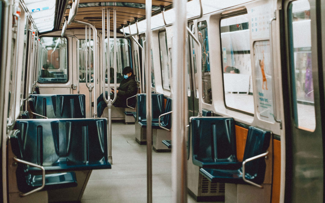
⊗ In Montreal, all metros and buses are accessible for wheelchair users (elevators, front-door access ramps…)

⊗ In Barcelona, ​​a stop request button and a request button of the ramp has been set up in the buses to simplify the wheelchair exit,

⊗ Several metro lines in the world have a retractable threshold in order to fill the space between the platform and the vehicule,

⊗ Throughout Spain, a dedicated spot in buses is equipped with a belt and a grab bar that secures people in wheelchairs,

⊗ Many European buses have a validation terminal located in front of the access ramp preventing wheelchair users from having to move to the back of the bus,

⊗ The city of Toulouse in France has implemented a lowered card transport validation in buses.

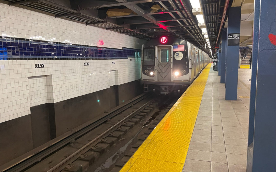
We can also mention the indoor navigation app Evelity. It meets the needs of all users with disabilities. The app is currently deployed at the Jay Street-MetroTech station in New York City subway. Every user can set up the app according to their profile and consequently, their capabilities. The app provides optimized routes with elevators or escalators to people with reduced mobility.

Services adapted for people with reduced mobility

Reducing barriers in public transport also means providing services to people with motor disabilities.

Alternative modes of transport at the public transport rate is often offered in the event of a hazard and to those who cannot use public transport. In some cities, a free accompaniment service by qualified members of staff is offered. Other cities have also developed an ambulatory ambassador service. Disabled users advise and accompany those in need to better understand their difficulties and overcome them. Uber and Lyft both provide handicap-accessible transportation. Depending on the area, you may need to plan and pay more than a traditional ride. However, those private rideshare services can fill occasional needs.


If leaving the house is often an expedition for people with a physical disability, this is not inevitable. As an accessibility actor of your public transport network, you have the power to improve the situation of at least 30% of your users. Lifts, access ramps, adapted furniture, real-time information on network accessibility, paperless ticketing, assistance services…, many solutions have proved successfully. Before setting up one or the other, we recommend that you look for feedback and organize a consultation with users of your network with disabilities to identify their difficulties, because what works well somewhere may need to be adapted elsewhere.

If you like this article you will also like this one: Making Public Transport Information Accessible to Disabled People

Updated on December 27th, 2021 / Published on June 14th 2019

media

Of the nearly 2 million people with disabilities who never leave their homes, 560,000 never leave home because of transportation difficulties.

writer

Zoe Gervais

Zoe Gervais

Content Manager

stay updated

Get the latest news about accessibility and the Smart City.

other articles for you

share our article!

more articles

The Montreal Metro on the Way to Universal Accessibility

The Montreal Metro on the Way to Universal Accessibility

The Montreal Metro on the Way to Universal AccessibilityWith 1.36 million passengers per day, the Montreal metro is the first network in Canada and the third in North America behind New York City and Mexico City. The network, which was inaugurated on October 14, 1966...

NEVER miss the latest news about the Smart City.

Sign up now for our newsletter.

Unsubscribe in one click. The information collected is confidential and kept safe.

powered by okeenea

The French leading company

on the accessibility market.

For more than 25 years, we have been developing architectural access solutions for buildings and streets. Everyday, we rethink today’s cities to transform them in smart cities accessible to everyone.

By creating solutions ever more tailored to the needs of people with disabilities, we push the limits, constantly improve the urban life and make the cities more enjoyable for the growing majority.
Making Public Transport Information Accessible to Disabled People?

Making Public Transport Information Accessible to Disabled People?

Making Public Transport Information Accessible to Disabled People


Planifier son trajet, connaître les temps d’attente aux arrêts de bus, savoir où descendre, réagir en cas de perturbation : utiliser les transports en commun nécessite d’avoir accès à l’information à chaque étape. La tâche est bien sûr beaucoup plus complexe pour les personnes en situation de handicap, qu’il soit moteur, sensoriel ou intellectuel. Cet article propose une liste de solutions permettant de fournir des informations accessibles sur les transports en commun à tous les types de voyageurs.

Les besoins des passagers handicapés en matière d’information sur les transports publics accessibles

L’information voyageurs englobe toutes les informations transmises aux voyageurs des réseaux de transport à chaque étape de leur voyage. Ces informations peuvent être fournies sous différents formats papier ou numériques et peuvent être consultées à distance, aux gares et aux arrêts, voire à bord des véhicules. Si ces informations s’adressent à tous les voyageurs, leur diffusion aux personnes en situation de handicap est beaucoup plus complexe.


Les voyageurs handicapés doivent recevoir les informations en temps réel et dans un format approprié afin de :

⊗ Préparer leur itinéraire en fonction de leur mobilité (localisation des arrêts, accessibilité du réseau de transport) ;

⊗ Connaître en temps réel l’état de fonctionnement des équipements adaptés (ascenseurs, escaliers mécaniques, etc.) ;

⊗ Être informé de la prochaine étape de leur parcours (checklist) ;

⊗ Sachez quoi faire en cas d’interruption de service.

Leurs besoins spécifiques se complexifient lors d’événements exceptionnels (pannes, grèves, détours, arrêts non desservis, etc.). Les personnes malentendantes peuvent rarement obtenir des informations sur les perturbations, celles-ci étant généralement annoncées oralement. Les personnes malvoyantes perdent leurs repères et peinent à trouver un itinéraire alternatif. Les personnes en situation de handicap moteur peuvent se retrouver dans l’impossibilité d’emprunter un autre moyen de transport en raison d’obstacles physiques.

Enfin, les personnes présentant une déficience intellectuelle éprouveront également des difficultés à comprendre l’information, à prendre une décision et à trouver de nouveaux repères. Autre aspect important : le stress causé par les perturbations est bien plus lourd pour tous les voyageurs, en raison de leurs difficultés particulières et de leur sensibilité parfois accrue (handicap psychique, autisme).

Préparation de voyage avec des planificateurs de voyage faciles à utiliser

Pour une personne en situation de handicap, la préparation est essentielle à la réussite d’un voyage. Il y a quelques années, la planification d’un voyage reposait sur des cartes et des horaires notés sur papier, et ceux-ci restent essentiels pour certains. Mais les alternatives numériques actuelles ont rendu la planification beaucoup plus efficace. Les opérateurs de transport proposent généralement un proposé de voyage sur leur site web, complété par une application mobile.

Cependant, ces restrictions de voyage doivent remplir les conditions suivantes pour être utilisables par une personne handicapée et répondre à ses besoins :

⊗ L’interface web ou téléphonique doit être conforme aux normes d’accessibilité numérique (utilisable avec un lecteur d’écran, adaptable aux paramètres d’affichage de l’utilisateur, etc.).

⊗ Les options du prévu de voyage doivent inclure des critères d’accessibilité : ascenseurs, escaliers mécaniques, accès de plain-pied, etc.

⊗ Les stations et arrêts doivent pouvoir être localisés sur une carte et par leur adresse réelle, qui doit être entièrement écrite (pour ceux qui ne peuvent pas lire la carte et afin qu’elle puisse être saisie dans un GPS).

Pour faciliter la mobilité de tous, toutes les informations sur les réseaux de transport devraient être rendues publiques afin de pouvoir être intégrées aux prédéfinis d’itinéraires multimodaux . En effet, l’utilisation d’applications ou de définition d’itinéraires spécifiques à une ville donnée constitue souvent un obstacle.

Matériel écrit ou audio conçu pour différents handicaps

Malgré le développement des technologies numériques, les supports physiques peuvent encore s’avérer très utiles à de nombreux usagers des transports. C’est pourquoi il est important de mettre à disposition des usagers des plans simples ou des horaires en gros caractères. Londres, par exemple, propose une grande variété de plans de métro ; ils sont proposés en couleurs contrastées et en format audio. Certains plans ne montrent que le réseau aérien pour les personnes souffrant de claustrophobie. Toulouse (France) propose également une audiodescription de ses stations de métro .

Points d’information visuelle et audio pour les voyageurs

Départs, correspondances et arrivées : chaque étape d’un voyage à son arrêt. À chaque arrêt, des informations accessibles sur les transports en commun sont nécessaires.


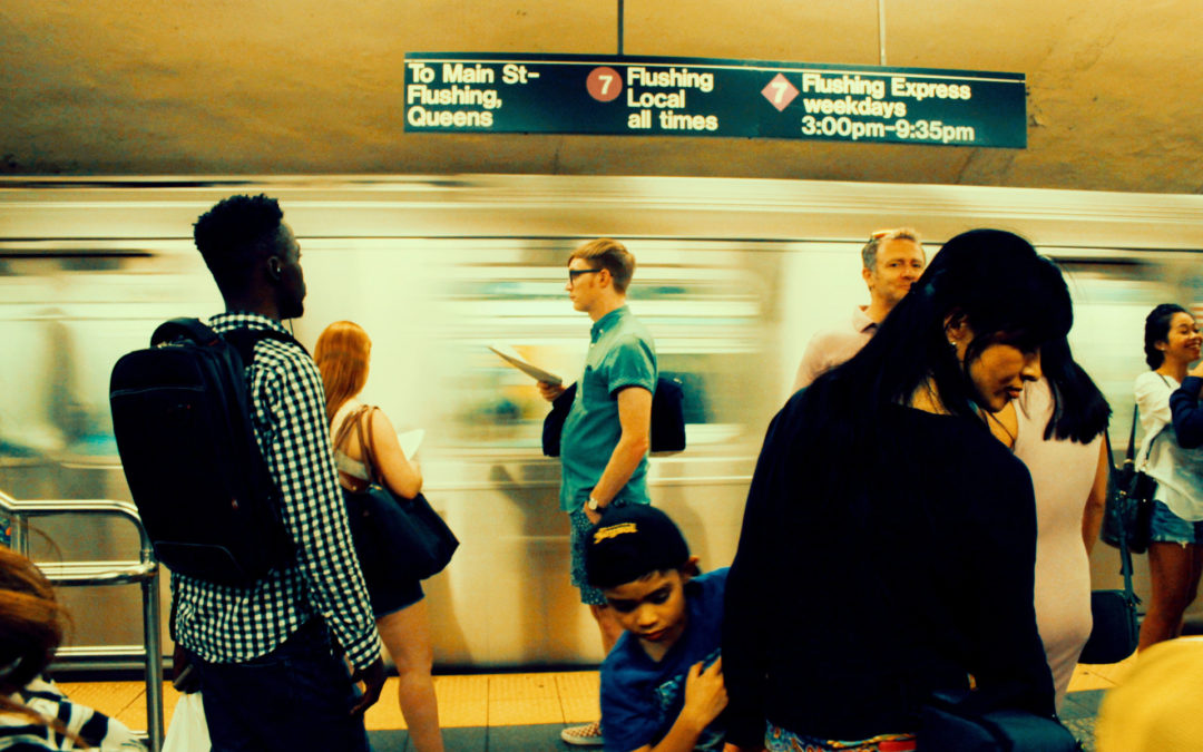
Les bornes d’information voyageurs sont des panneaux lumineux installés aux arrêts de bus, de tramway ou de métro. Ces panneaux informent les passagers du temps d’attente et des éventuelles perturbations sur la ligne desservant l’arrêt.
Mais à quoi servent-ils pour une personne malvoyante ? Ces bornes doivent être audio, éventuellement via une télécommande ou un smartphone. Cette fonctionnalité présente deux avantages. Premièrement, l’audio à la demande fournit aux personnes illettrées les mêmes informations que tout le monde. Deuxièmement, l’activation du panneau à distance permet également aux personnes malvoyantes de localiser précisément l’arrêt et de confirmer qu’elles sont bien à l’endroit souhaité.


Cette solution a déjà été déployée dans de nombreuses villes à travers le monde, comme San Francisco, Auckland, Toulouse, Lyon ou Prague.

Lisez notre article : Obstacles dans les transports en commun : quelles solutions pour le handicap physique ?

Annonces de perturbations en audio et par écrit

En cas de perturbations (pannes, grèves, déviations de lignes ou simple changement de quai), l’information est généralement diffusée aux voyageurs par un système de sonorisation installé dans les véhicules ou à l’arrêt. Les personnes sourdes remarquent le changement d’attitude des voyageurs autour d’elles sans en comprendre la raison. La situation devient d’autant plus pénible pour elles lorsqu’elles se rendent rapidement compte d’un problème, sans avoir eu connaissance de la solution proposée. Il est donc essentiel que ces informations soient également diffusées sur des écrans installés à cet effet.

Alertes SMS en cas de perturbations : accessibilité universelle

Pour les personnes handicapées, les perturbations de leurs moyens de transport peuvent être source de stress et de difficultés supplémentaires. C’est pourquoi il est essentiel d’anticiper ces situations, plus que pour les autres voyageurs.
Des alertes SMS sont déjà disponibles sur de nombreux réseaux de transports urbains, informant en temps réel des perturbations affectant l’ensemble du réseau ou uniquement les lignes sélectionnées au préalable par l’usager en fonction de son itinéraire habituel.
Ce système s’adresse à tous les usagers des transports. Pour qu’une personne en situation de handicap puisse également bénéficier de cette technologie, il est essentiel de s’assurer que l’abonnement au service ne constitue pas un obstacle. Le respect des normes d’accessibilité numérique et une procédure simple restent essentiels.
Il est important de noter que ce système d’alertes SMS ne doit pas remplacer les autres méthodes d’information sur les perturbations. En effet, les personnes sans téléphone portable ou non inscrites au service resteraient dans l’ignorance.

Annonce visuelle et audio du prochain arrêt

Dans tous les transports en commun, l’annonce de l’arrêt suivant est une information essentielle pour les passagers, d’autant plus s’ils ne connaissent pas le trajet. Cette information est souvent affichée sur un panneau lumineux. Mais elle doit aussi être donnée oralement. Ceci s’adresse évidemment aux personnes malvoyantes, mais plus généralement à toute personne ne sachant pas lire, que ce soit en raison de l’illettrisme ou simplement de son emplacement.

Certaines applications pour smartphone alertent les utilisateurs du moment où ils doivent demander leur arrêt.

Applications innovantes pour smartphones permettant aux passagers de se connecter

L’utilisation des smartphones s’est généralisée et a ouvert de nouvelles possibilités de déplacements individuels. Certaines applications proposent de mettre en relation une personne handicapée avec des bénévoles ponctuels, pour une minute, une heure ou plus. BeMyEyes
en est un bon exemple  : elle permet aux personnes aveugles ou malvoyantes d’obtenir une assistance visuelle via une conversation vidéo avec l’un des nombreux bénévoles prêts à prêter leurs yeux pendant quelques minutes. Côté, Faciligo est une plateforme française de compagnons de voyage permettant aux personnes à mobilité réduite de trouver un accompagnateur pour tout type de trajet en transports en commun. L’idée est de mettre en relation les voyageurs à mobilité réduite ou en situation de handicap, et même les personnes âgées, avec les personnes valides, améliorant ainsi l’accès aux transports pour les personnes ne pouvant pas voyager seules. En contrepartie de cette aide, l’accompagnateur bénéficie d’une réduction sur le prix de son billet.

Ateliers sur les réseaux de transport pour les usagers les plus vulnérables

L’aide d’une tierce personne est parfois indispensable pour préparer un déplacement et permettre à une personne handicapée de se déplacer en toute autonomie dans les transports en commun. Certains opérateurs de transport proposent des ateliers ou des formations permettant aux personnes handicapées de se rencontrer avec le réseau.


À Paris, la RATP organise des Ateliers Mobilité . Initialement destinés aux voyageurs en situation de handicap intellectuel, ces ateliers ont rapidement été étendus aux écoles et ont été très appréciés des participants.

Voici d’excellents exemples d’informations sur les transports publics accessibles que vous pouvez également mettre en œuvre dans votre réseau pour aider vos utilisateurs.

L’ajout d’informations audio aux informations visuelles et inversement, la mise en place de services numériques accessibles, l’utilisation d’applications mobiles et l’accompagnement communautaire à la demande ne sont que quelques-unes des nombreuses initiatives locales qui ont vu le jour pour ouvrir l’accès à l’information à tous les voyageurs. L’enjeu principal aujourd’hui reste la standardisation des différentes sources et la diffusion de l’information auprès de tous afin que chacun puisse en tirer profit.

media

For disabled people, disruptions to their means of transportation can cause plenty of stress and added difficulties. That’s why such situations need to be anticipated, more so than for other travelers.

writer

Lise Wagner

Lise Wagner

Accessibility Expert

stay updated

Get the latest news about accessibility and the Smart City.

other articles for you

share our article!

more articles

The Montreal Metro on the Way to Universal Accessibility

The Montreal Metro on the Way to Universal Accessibility

The Montreal Metro on the Way to Universal AccessibilityWith 1.36 million passengers per day, the Montreal metro is the first network in Canada and the third in North America behind New York City and Mexico City. The network, which was inaugurated on October 14, 1966...

NEVER miss the latest news about the Smart City.

Sign up now for our newsletter.

Unsubscribe in one click. The information collected is confidential and kept safe.

powered by okeenea

The French leading company

on the accessibility market.

For more than 25 years, we have been developing architectural access solutions for buildings and streets. Everyday, we rethink today’s cities to transform them in smart cities accessible to everyone.

By creating solutions ever more tailored to the needs of people with disabilities, we push the limits, constantly improve the urban life and make the cities more enjoyable for the growing majority.